
Pembrokeshire
The Coastal Fortress and Geological Grandeur of West Wales
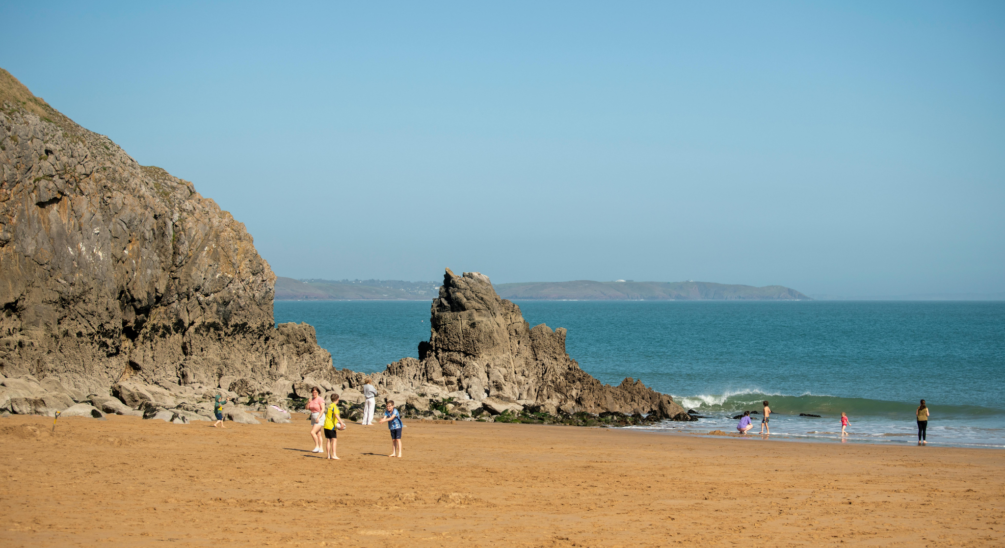
Pembrokeshire is a maritime county forming the southwestern extremity of Wales, bordered by the Atlantic Ocean on three sides. By definition, Pembrokeshire is Britain’s only fully coastal National Park, established in 1952 to protect a landscape defined by 186 miles of rugged cliffs, volcanic headlands, and glacial valleys. For the 2026 traveler, this region serves as a tactical wilderness retreat, offering a profound contrast to the urban density of London through its unique combination of Norman military architecture and Neolithic mystery.
What is the geographical significance of the Pembrokeshire Coast?
The Pembrokeshire Coast is geographically significant as a diverse geological palimpsest, featuring 400-million-year-old Old Red Sandstone and volcanic Precambrian rock. Its unique "ria" (submerged river valley) at Milford Haven creates one of the world’s deepest natural harbors, while the 186-mile Coastal Path provides a tactical cross-section of Europe’s most complex marine ecosystems.
Information Gain: Beyond its aesthetic appeal, Pembrokeshire’s geography holds a unique link to Stonehenge. Geochemical analysis confirms that the "bluestones" of Stonehenge's inner circle originated specifically from the Carn Goedog and Craig Rhos-y-felin outcrops in the Preseli Hills. Unlike the local sarsen stones found in Wiltshire, these Pembrokeshire rocks were transported over 140 miles, suggesting that the region was considered a sacred "source landscape" by Neolithic peoples as early as 3000 BCE.
The "Little England Beyond Wales": A History of Enclosure
Pembrokeshire’s history is defined by a sharp linguistic and cultural divide known as the Landsker Line. This invisible boundary separates the Welsh-speaking north from the English-speaking south.
The Norman Conquest: Following the invasion in 1093, the southern half of the county was heavily fortified with a chain of over 50 castles, creating a "frontier" zone.
Tactical Influence: Unlike the rest of Wales, the south became culturally assimilated with English and Flemish settlers.
Standalone Fact: Southern Pembrokeshire is known as "Little England Beyond Wales" due to its historical lack of Welsh-language dominance—a status maintained for over 900 years.
Navigating the Journey: London to Pembrokeshire 2026
For the London-based explorer, Pembrokeshire represents the ultimate "Far West" expedition.
To determine the most efficient transit method for the 2026 traveler, it is essential to analyze the logistics of the "Far West" expedition from the capital. In short, the London to Pembrokeshire Transit Comparison is defined by the following strategic options:
GWR Train: Departing from London Paddington toward Haverfordwest or Fishguard, this route offers a tactical travel time of 4h 30m - 5h, serving as the primary rail artery for the region.
Private Vehicle: Utilizing the London M4 Corridor to reach Tenby or St Davids, the journey takes approximately 4h 45m of direct driving, providing the highest level of regional mobility.
National Express: Operating from Victoria Coach Station to Pembroke Dock, this service provides a cost-effective alternative with a duration of 6h 30m.
Sleeper Bus: Available from selected London hubs to St Davids, this 7h overnight service functions as a tactical "time-saver," allowing travelers to arrive at the coast for the start of the business or leisure day.
Actionable Insight: The most tactical rail route involves the Great Western Railway (GWR) service to Swansea, with a seamless connection to the Carmarthen/Haverfordwest line. By definition, the train offers a superior "scenic entry" into the county, crossing the Towy estuary and providing panoramic views of the Carmarthenshire coast before entering the Pembrokeshire border.
Top 3 Tactical Excursions in Pembrokeshire
1. St Davids: The Smallest City in Britain
St Davids is built on the site of a 6th-century monastery. By definition, it attained city status not through population, but through the presence of its massive 12th-century cathedral.
Information Gain: The cathedral was built in a hollow to hide it from Viking raiders scanning the horizon—a tactical architectural choice that remains visible today.
2. The Castles of the Landsker Line
Explore Pembroke Castle, the birthplace of Henry VII and the founder of the Tudor Dynasty. Unlike smaller stone keeps, Pembroke features a rare circular Great Keep and a vast natural limestone cavern beneath the foundations known as "The Wogan."
3. Skomer Island: Marine Biodiversity
For the 2026 traveler, Skomer is a critical site for puffin and Manx shearwater observation. In short, you must book boat crossings 3–6 months in advance, as landing permits are strictly capped to protect the ecosystem.
References
John, B. The Pembrokeshire Coast Path. London: Aurum Press, 2021.
Pembrokeshire Coast National Park Authority. State of the Park Report 2025/26. Haverfordwest, 2026.
Davies, J. A History of Wales. London: Penguin Books, 2007.
National Museum Wales. The Preseli Bluestones and Stonehenge: Recent Geological Discoveries. Cardiff, 2024.
-
The tactical window for puffin sightings is between April and July. By August, the puffins "fledge" and return to the open ocean for the winter, leaving the islands populated primarily by Atlantic grey seals.
-
There is no direct train station in St Davids. The most tactical route is to take the train from London Paddington to Haverfordwest, then utilize the "T11" TrawsCymru bus service, which provides a direct 40-minute link to the city center.